
Ask “AI” Albert
Richard checks in with the world three times a day. Morning session to send the latest blog and images to Carmen, the weather check with “Weather Router” Robin, and then the power system and AIS with “AI” Albert.
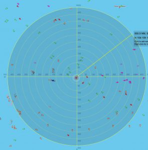
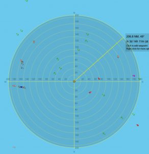
Albert monitors Osiyeza’s position and the marine traffic around Richard using “Marine Traffic,” with a small subscription to watch one vessel – Osiyeza. FleetMon also works well and seems to be free, but it may delay the position a bit.
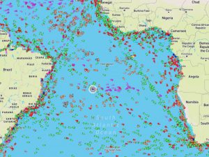
He usually sends Richard screenshots like these to show him which traffic may cross his path. At the moment, we’re watching the three green (cargo) vessels approaching him from NW and SE. They are all within 100 nautical miles (185km) from him and move at around 10 knots on average – let’s say 18km/h. That means they can cover 100 nautical miles in just over 10 hours (roughly). Albert alerts Richard on anything that may reach him within the next 12 hours – i.e. before our next check-in.
Currently, we cannot use screen shots, so Albert has to describe the picture in short messages via the satellite phone SMS.
This one is from last night:
“1x cargo @ 70NM SE, will reach you in 6-7 hours. No one else within 130NM (12 hours) in your direction.”
And this morning:
“Ahoy! AIS: cgo 100 SE 9hrs, cgo 70 WNW 6.5hrs, cgo 90 NW 8hrs. All else > 200NM. All ok your side?”
Richard just replied with: “AOK. no slowing osi. slept thw ship passing lst nite but was 2nm away. sun jst up. pwr 91%”
Coordinates -16.427980° lat -19.786150° long

